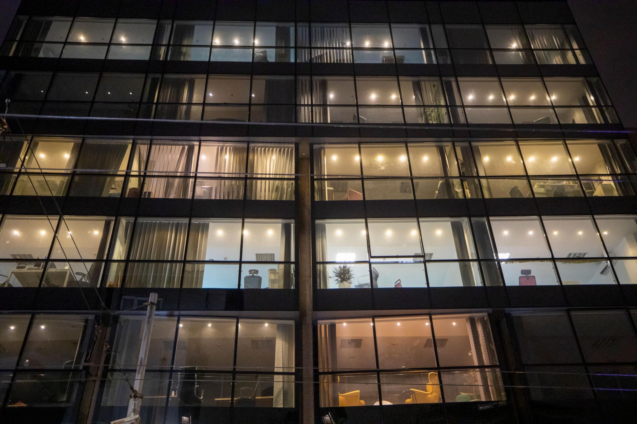
Lighting design and distributed data.
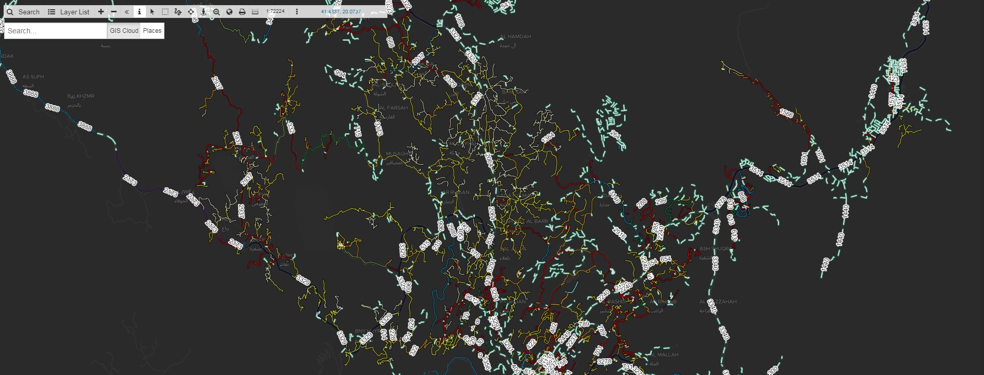
Quantum has planned and continues to manage survey activities related to the design, monitoring of the installation phase and lux measurement activities up to the final delivery to the customer, using an advanced GIS solution for the management of decentralised technological plants and assets.
Quantum has been supplying, installing, testing and commissioning street LEDs internationally for many years.
Our "real time mapping" method enables the acquisition, recording, analysis, visualisation, restitution, sharing and presentation of information derived from geographical (geo-referenced) data, i.e. we collect complex data clusters in the field, make them instantly viewable on a map and share them in the cloud with the teams involved.
More than 500 k lighting points surveyed and installed so far, more than 200 users released and managed between coordination staff, project managers, mobile data collectors as well as key decision makers enabled during the service cycle until the final handover.
More than 40 k views per semester testify to the average size of the projects on which we operate, as well as to their exposure to the main stakeholders.
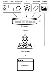
Thanks to GIS technology, we integrate in a single environment the most common operations linked to the use of databases (queries and statistical analysis) with the geographical analysis allowed by numerical cartography, both raster and vector.
GIS allows the analysis of a geographical entity both for its complete geometric (and symbolic) nature and for its total information content.
This is made possible by the integration of two previously separate systems: computer-aided design systems (CAD-Computer Aided Design) and relational databases (DBMS-Data Base Management System).
 We consider the potential of this method to be increasingly strategic and useful not only in the field of street lighting but also in ordinary and extraordinary maintenance of other assets spread throughout the territory.
Quantum is pleased to be able to support projects aimed at the better maintenance of infrastructure and in general the care of the territory.
We consider the potential of this method to be increasingly strategic and useful not only in the field of street lighting but also in ordinary and extraordinary maintenance of other assets spread throughout the territory.
Quantum is pleased to be able to support projects aimed at the better maintenance of infrastructure and in general the care of the territory.
Categories
Tech
Publication date
5 March 2021
Reading time
2 minutes